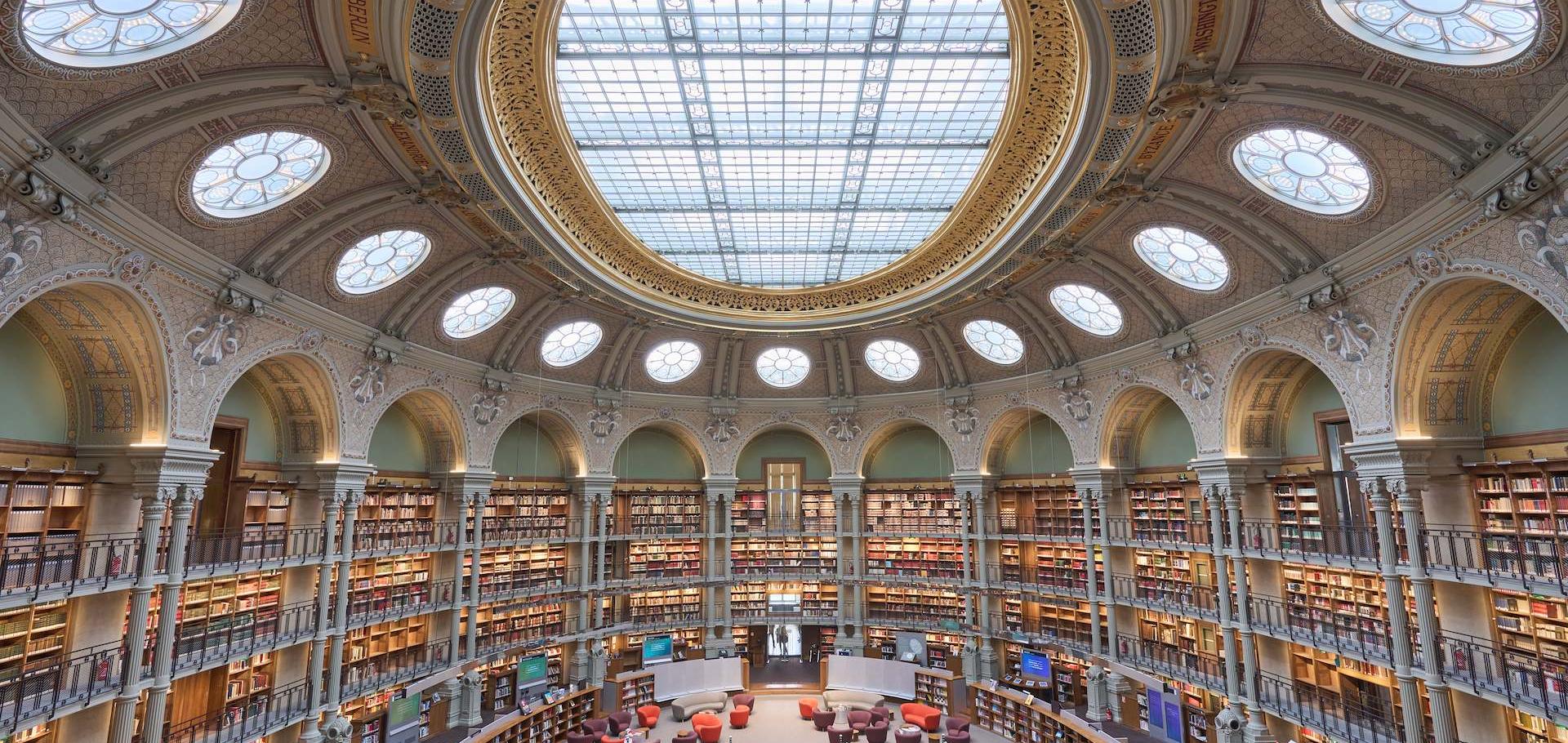
Cultural events
Exhibition
François-Mitterrand
from June 20, 2011 to September 4, 2011 François-Mitterrand / Julien Cain alley
From the Renaissance until the late 18th century, the European vision of the huge African continent was very limited. Europeans only knew the African coasts where they had set up trading posts.In the early 19th century, the inner continent also became a major source of interest. All through the century, Africa was at the core of a large-scale movement of discoveries and explorations. Newly-discovered areas were listed, making cartography a major tool for intellectual, scientific and political appropriation of territory. In the framework of the African summer season organised at BnF, documents on display will focus on explorations of Africa and African cartography. The exhibition will be divided in three sections:
12 large-size outline maps of Africa (presented in the Julien Cain Alley); maps, sketches, drawings and photographs of inner African areas brought back by explorers (presented in the « Abécédaire des collections » area); digitised and interactive map of Africa in 63 sheets on a 1:2 000 000 scale (presented in the « Labo » area).
Friday, June 17, 2011